Source: David Sacks / Getty
via Cleveland19:
Weather Scenario:
An upper level low will move over the lower Great Lakes through Thursday night before moving off the Mid-Atlantic coast on Friday. High pressure will return to the Great Lakes region this weekend. Lousy low pressure will pass just to our south on Sunday. Thankfully, it will miss us.
Morning Commuter Alert:
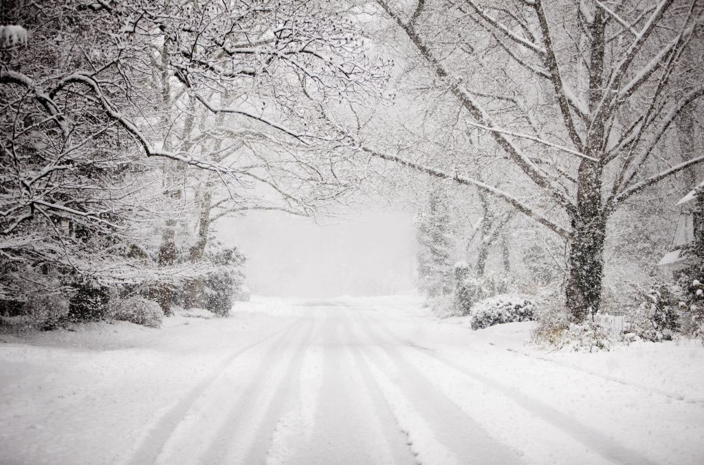
Good morning! Areas of lake effect snow continue early this morning. Where the lake effect is set up, roads may be coated in snow. Other local roadways may be wet or slick from last night’s snow. Give yourself a little extra time this morning if you can.
Short Term Forecast:
Somewhat drier air will move into NE Ohio through the morning, and this should help to choke off some of the snow. However, more wrap around moisture will move in by this afternoon. This will allow additional lake effect snow showers to develop by mid-afternoon.
I am concerned that the evening commute will be dicey where the lake effect snow sets up. Snow showers will continue through the night.
Temperature-wise, today will be about 10° BELOW average. Gusty winds will make it feel like it’s in the teens this morning and in the 20s this afternoon.
CLICK HERE to read entire story
LOCAL NEWS: Northeast Ohio Weather: Watch For Lake Effect Snow Today! was originally published on praisecleveland.com