Lake Effect Snow | 'Near Blizzard Conditions' Possible
LOCAL NEWS: Lake Effect Snow | ‘Near Blizzard Conditions’ Possible

A portion of the Snow Belt is in the crosshairs yet again with bitter cold temperatures for everyone.
Already, Cleveland has set a new record low for Monday at 14 degrees just before midnight. That ties (and sets) the record first set in 1959. Tuesday’s record low is 10 degrees, also set in 1959.
The National Weather Service in Cleveland is continuing the LAKE EFFECT SNOW WARNING for Ashtabula and Lake counties until 7 a.m. Wednesday.
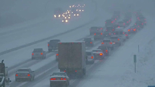
Forecasters say this lake effect event could cause “near blizzard conditions” closest to Lake Erie where snow is expected to be the heaviest. Travel along I-90 toward Buffalo will be difficult as parts of northwest Pennsylvania and western New York could get three feet of snow by the time this snow is over.
The weather service defines a “blizzard” as a weather event with the following conditions for a period of three hours or longer: Sustained wind or frequent gusts to 35 mph or greater and considerable falling and/or blowing snow.
CLICK HERE to read story
source: Wkyc.com
LOCAL NEWS: Lake Effect Snow | ‘Near Blizzard Conditions’ Possible was originally published on praisecleveland.com